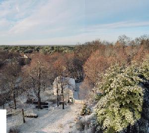
In January 2004 we had a freezing rain storm. A little before 8 AM I climbed the steeple (being a trustee has to give you some privileges) and shot a roll of film - mostly to the south without thinking too much about how many shots I should take.
The final result was quite good: Hi-Res Panorama
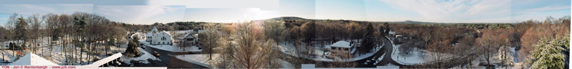
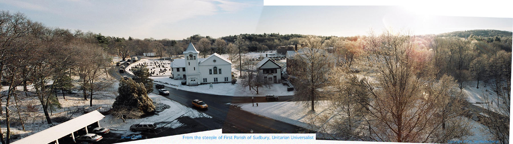
Above is close to a 360. We are missing perhaps a tiny sliver to the northeast and a clump of trees to the northwest. Anyway, from left to right, the ancient Sudbury cemetery, the Presbyterian Church, the Grange, the Town Hall obscured by trees, the Noyes School in back, Goodman's hill, the Hosmer house, Concord Road, Nobscot and Tippling Rock, and the old parsonage.
There is no accounting for perspective. The horizon line is quite clean, but, there are a few glitches along the bottom.
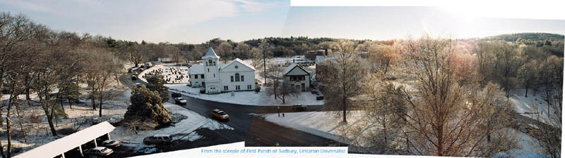
Just the East with a perspective focus in the center. The ancient Sudbury cemetary, the Presbyterian Church, the Grange, the Town Hall obscured by trees, the Noyes School in back, and Goodman's hill.
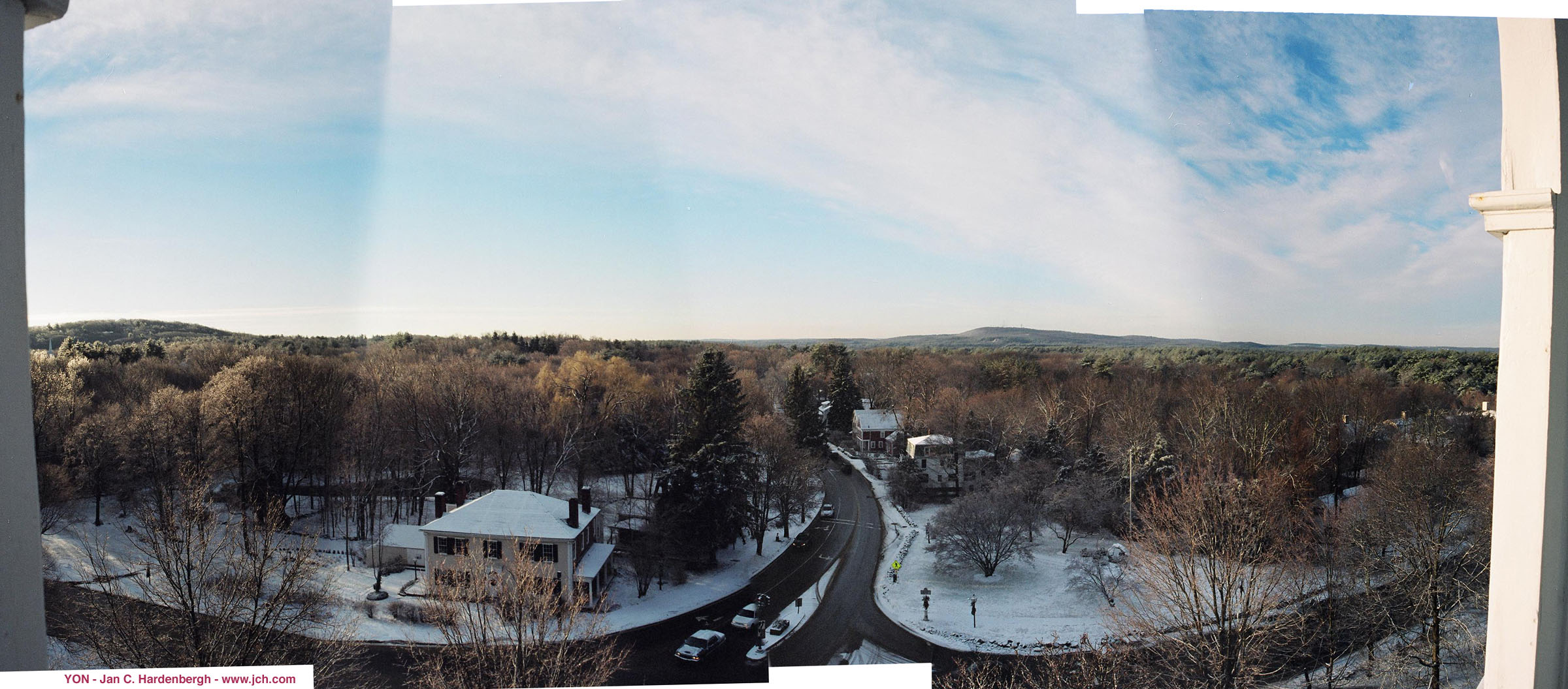
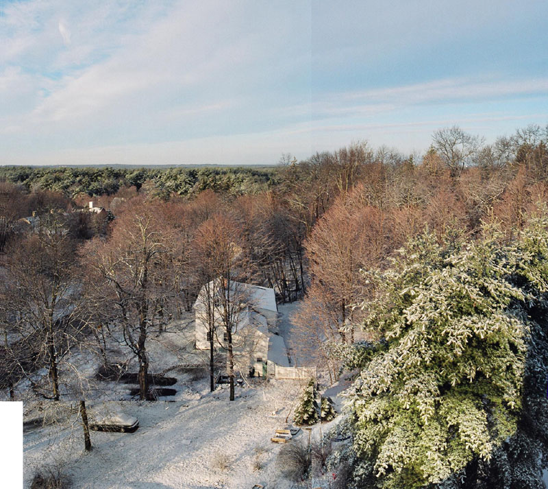
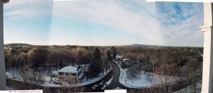 View to the South with Nobscot, Concord Road and the Hosmer house. |
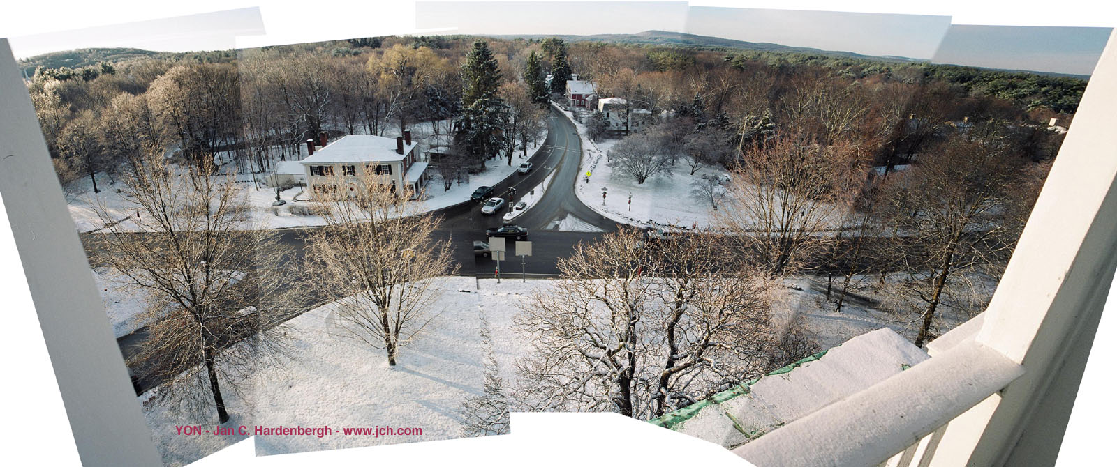
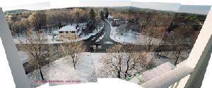 Concord Road, Old Sudbury and Hudson Roads |
|
 View to the west. |
The photo-quality images will be used for fund rasing.
These were done with the help of Adobe Photoshops's Create Photomerge, which does a great job some of the time, but, seems to require a fair amount of futzing around. However, it is still much easier than doing it by hand, if, perhaps not perfect.
See Also: Google Earth model of FPS
And: Sudbury Town Center Panorama
And: Sudbury Panoramas and more
YON - Jan C. Hardenbergh
June 2004, updated June 2008
